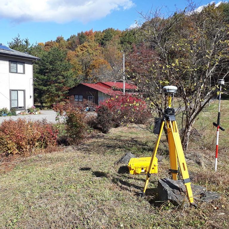
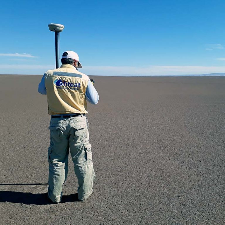
Plot surveying
Ofiteat is one of the pioneering companies in the use of drones for property measuring. Having played a leading role in the industry for the past 20 years, we have led the way in maximizing available resources and offering our clients the most advanced technologies in data collection.
With our established international experience in property measuring across three continents, at times in very complex situations, we can guarantee operations even when the terrain is drastically irregular, has pronounced slopes, or is in an area with adverse climate conditions. We have proven that today it is possible to take measurements in areas where before it seemed inconceivable.
Why choose our plot surveying services?
What distinguishes Ofiteat from the rest of the industry is our capacity to offer our clients the perfect formula to maximize their investment.
We have developed a plot measuring process that brings together the industry’s most innovative landscape surveying drones, a team of expert engineers and official UAV-RPAS pilots who can operate these devices in conditions where visibility is extremely restricted or null.
Our drones have been assembled by our Tech Department, using the highest quality materials and integrating the sector’s most advanced measuring technologies.
We possess all the necessary licenses and qualifications to measure your property in nearly every country in the world.
At Ofiteat we have been committed to innovation since drones first appeared on the market. Today, two decades later, we are proud to say that we are one of the best property measuring services in the world.


Other global topographical services
At Ofiteat we offer solutions that go beyond property measuring. Below is a list of our most frequently requested services:
Request a free quote
If you would like us to study your project, you can get in touch by phone, email, or fill out the contact form. If you prefer, you are welcome to visit us at our offices in Spain, Chile or Japan.
