
Drone surveying
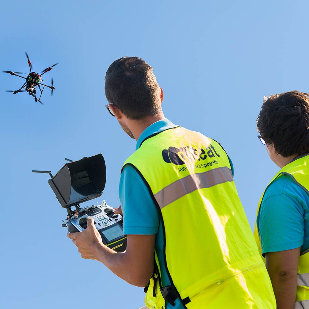
What sets Ofiteat apart from other companies is our long-standing commitment to innovation. As the first firm in Spain to incorporate drones into the topography sector, we identified the potential of these tools very early on and started to offer our clients customized solutions while maximizing available resources.
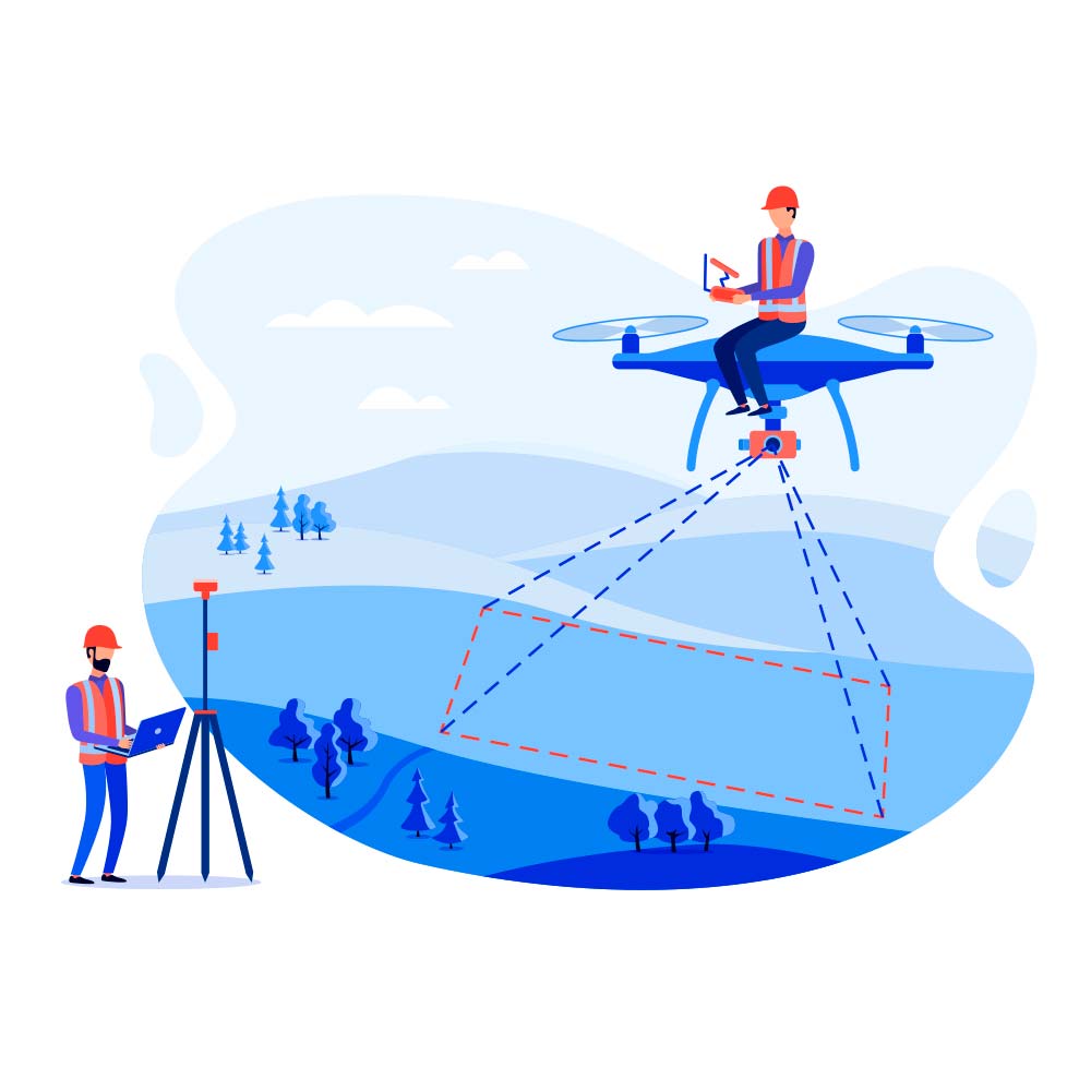
By incorporating orthophoto we offer data quality, measurement accuracy, and improved information. Our topographical surveying with drones has allowed our clients to reduce logistical and operational costs while guaranteeing the sustainability of all kinds of construction projects.
Why choose our topographical surveying with drones service?
Ofiteat, present on three continents and always at the forefront, is a benchmark company for the use of drones in topographical surveys. With our drones, assembled by our team of experts using the most advanced and reliable systems on the market, we can perform topographic profiles that would have previously been impossible to accomplish.
Today, after twenty years of conducting topographical surveys in the most challenging environmental conditions, we are proud to say that not even snow, ice or scorching heat has prevented us from performing topographical profiles of areas where subsequent large-scale construction projects have been carried out.
Our UAV-RPAS technical pilots are fully trained, possess all the necessary licenses and qualifications to pilot our drones internationally. In addition to our years of experience in operating drones with innovative features such as airplanes, multi-rotor, or any kind of frame, and multispectral, RGB and thermal data collection systems.
Depending on the project’s characteristics and our client’s needs, all our resources are personalized to meet those requirements.
All our resources are tailored to meet our client’s needs and the characteristics of each project, offering a topographical surveying service that ensures the viability of any small or large scale construction project.
Other global topographical services
We offer an extensive catalog of topographical services that goes beyond topography with drones. Below is a list of our most commonly requested services:
Request a free quote
If you would like us to study your project, you can get in touch by phone, email, or fill out the contact form. If you prefer, you are welcome to visit us at our offices in Spain, Chile or Japan.