
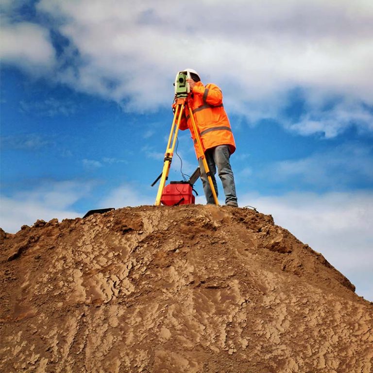
Topographic surveys
At Ofiteat we have all the technical and human resources necessary to carefully collect the physical, geographical and ecological characteristics of the area in which any work or construction project is going to be carried out, as well as the possible alterations existing in the area. land that could affect their development.

Construction topographic surveys

Urban topographic surveys

Cadastral topographic surveys
Forest topographic surveys
Hydrographic topographic surveys


Why choose Ofiteat to carry out your topographic survey?
Because our team is a specialist in preparing topographic surveys of the terrain with the aim of defining in detail the topographic specifications of the area, in addition to the restrictions and technical requirements that must be respected in order to comply with current regulations.
Because our team is a specialist in preparing topographic surveys of the terrain with the aim of defining in detail the topographic specifications of the area, in addition to the restrictions and technical requirements that must be respected in order to comply with current regulations.
We have been offering our topographic survey service on 3 continents for more than two decades, which has allowed us to obtain international knowledge that is difficult to find in such a specialized sector.
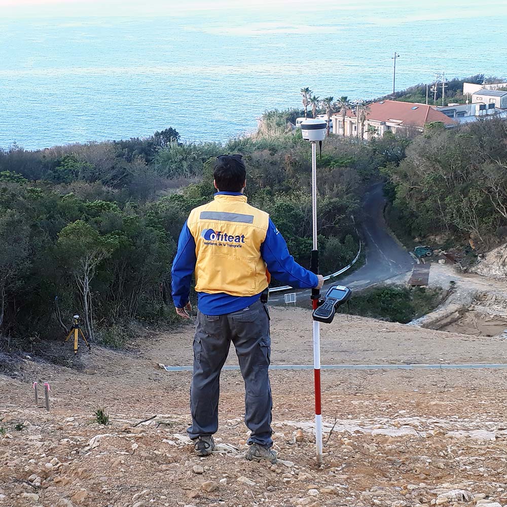
Topography of works
Carrying out a topographic study before starting any work is essential if you want to avoid all types of unforeseen events, both during the development of the work and once the works have been completed.
At Ofiteat we have more than 20 years of experience performing all types of construction surveying services that have allowed our clients to more clearly determine the objectives, specifications, technical requirements and restrictions of their project with the aim of respecting the current regulations and obtain maximum profitability.
After carrying out all the pertinent analyzes on the area that the project will cover, we will put on the table the ground conditions that could affect the development or the result thereof. In this way, we can redirect the project or make the necessary adaptations before it is too late.
At Ofiteat we have worked with all types of extreme conditions, from ice to snow, mountains and even deserts. And each of these projects has been a resounding success.
Why choose Ofiteat as your construction surveying company?
Because any construction project that has not been based on topographical analysis of the land on which the work will be carried out carries a great risk. There are many topographical factors that can condition the result of a work, and each of them must be anticipated and resolved with an ad hoc solution in order to avoid unforeseen costs and other associated risks.
Ofiteat has the most advanced equipment in the sector and highly qualified personnel with extensive experience in construction surveying. Our team of expert geodetic engineers, surveyors, official UAV-RPAS pilots and thermographers have more than two decades of experience carrying out topographic studies, supported by equipment that incorporates the latest technological advances in the sector.
We have all the necessary resources to carry out all the studies and analysis of work topography that your project requires, with the guarantee that you will be avoiding any risk both for the development of your project and for the result of the works.
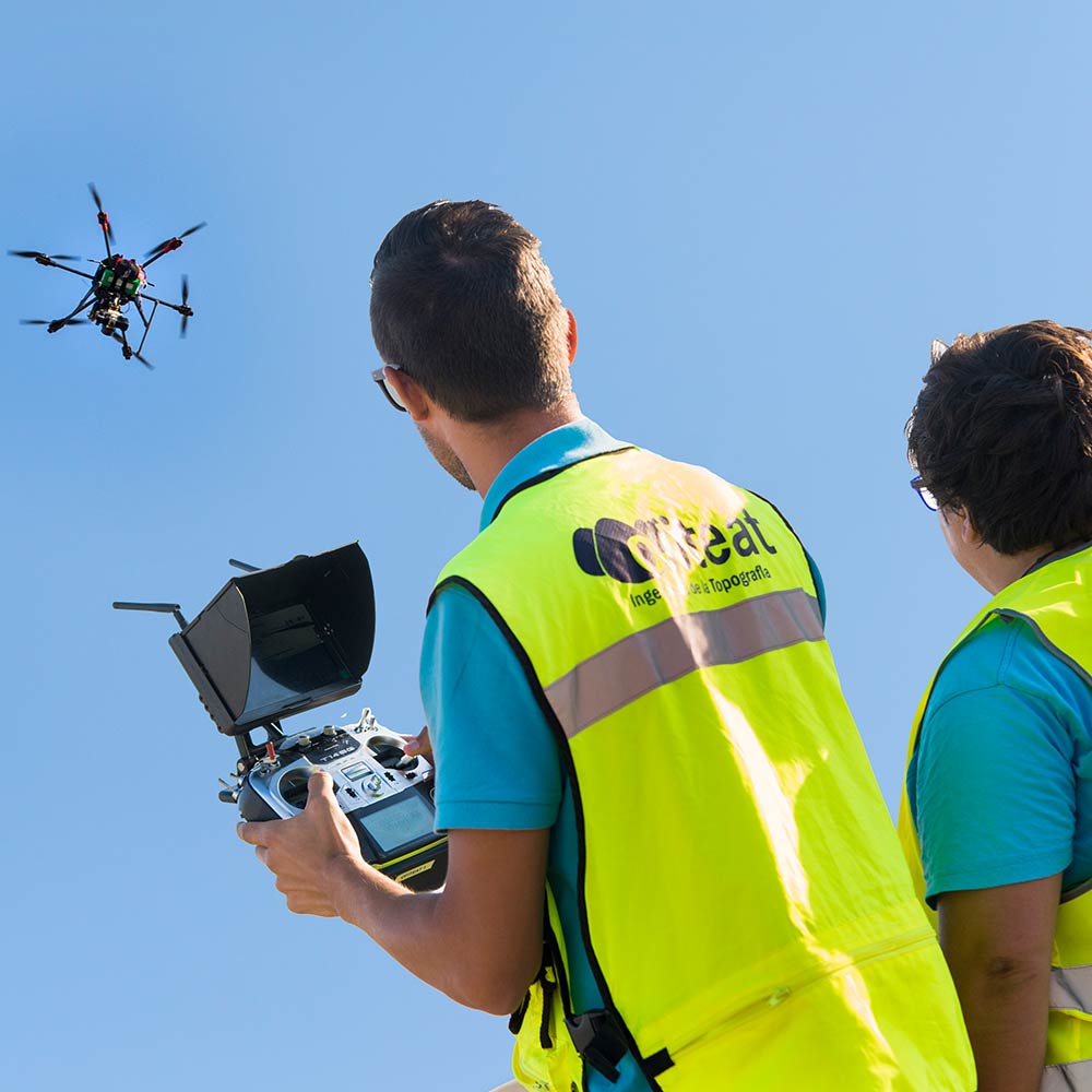
Drone surveying
At Ofiteat we have always decided to bet on innovation, and proof of this is that we are pioneers in incorporating drones into topography. Since their appearance at a commercial and civil level, we have identified the possibilities of these tools for the performance of our topographical services. Today, we can affirm that they allow us to optimize means, performance and offer solutions completely adapted to our clients.
There is a good variety of applications of drones in topography that allow reducing operational and logistical costs and favoring the viability of all types of construction projects. The incorporation of our own drone equipment, assembled by our expert staff using the best systems on the market, allows us to offer an entire catalog of drone surveying services, among which are:
- Topographic surveys.
- Construction inspections and project progress.
- Thermal and/or thermographic inspections.
- Inspection of power lines.
- Dissemination and corporate marketing.
Find out more about all our drone services: here
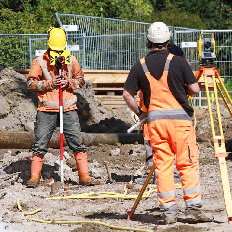
Rethinking of works
The Ofiteat team has 20 years of experience carrying out redesigns of works in various parts of the world, always focusing on making the most of the available resources while making the necessary adaptations in each project for it to be successful.
We have highly technologically advanced equipment to carry out the topographic survey of the terrain, other data collection tasks that will allow us to precisely define the objectives and specifications of the project, as well as the requirements and restrictions that may have to be applied to comply with current regulations. .
Why choose Ofiteat as your project layout company?
Because we have a team of geodesy engineers, drone pilots, thermographers and surveyors who have at their disposal all the necessary resources to rethink a project with complete guarantee of success and profitability. With Ofiteat, the most innovative technological advances in the sector crystallize with a team of professionals who have two decades of experience redesigning works.
We have faced the most extreme conditions, from ice to desert, but there has been no terrain that can handle us. We like to define ourselves as a company that makes the impossible possible, that has solutions for small and medium-sized projects and all the necessary resources to meet the needs of the most ambitious projects.
Not in vain, we are pioneers in the incorporation of drone technology to topography and thermography. Our drones are assembled by our own team with state-of-the-art materials to make them capable of adapting to the needs of each project, and our UAV-RPAS pilots have all the knowledge, certificates and experience necessary to handle this equipment with guaranteed efficiency and professionalism.
Request a free quote
If you would like us to study your project, you can get in touch by phone, email, or fill out the contact form. If you prefer, you are welcome to visit us at our offices in Spain, Chile or Japan.