Spanish surveying company
with international presence
We help companies and individuals with the topography
service that best suits each project
Try our BIM solution for PV site monitoring that saves time and money. We perform
RPAS thermographic inspections with ITC level II accredited thermographers.
What can we offer you?

Surveying Services
Because not all projects are the same, we offer you the topography service that best suits your needs, with a guarantee of service, quality and precision. More than 20 years helping large companies, SMEs and individuals.

Drone Services
Drones have become another tool in the engineering sector. Now you can have control of the work by carrying out periodic photogrammetric flights and using our BIM solution you can access a large volume of data from any device.

Topographic advice
In the vast majority of engineering and construction works, it is common, when the awarded project starts, to find topographical differences not foreseen in the plans. These mismatches make it difficult to offer a competitive budget and realistic construction deadlines.

Jobs on time
We are committed to meeting the agreed deadlines so that your project does not suffer penalties. We want to give you good service.

Cost savings
We are your trusted partner and we will ensure the execution of the work, providing solutions that reduce the total costs of the project.

Service Guarantee
Our service guarantee includes replacement equipment in the event of illness or accident so that surveying work does not stop.
Contact us
We are the topographic services company you need to make your project a reality.
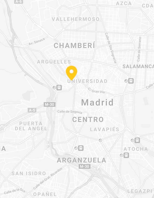
Ofiteat Spain (Madrid)
Calle Ferraz 2, 2º izquierda. 28008 Madrid
Email: ofiteat@ofiteat.com
Phone: +34 910 800 672
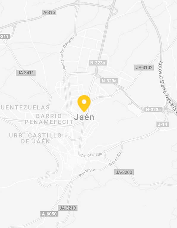
Ofiteat Spain (Jaén)
Av. de Madrid 43. Bloque 1, bajo A, 23008 Jaén (España)
Email: ofiteat@ofiteat.com
Phone: +34 910 800 672
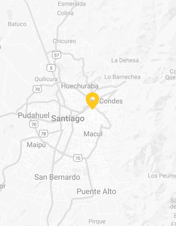
Ofiteat Chile
Eliodoro Yáñez 2450, Providencia, Santiago (Chile)
Email: ofiteat@ofiteat.cl
Phone: +562 2653 7009
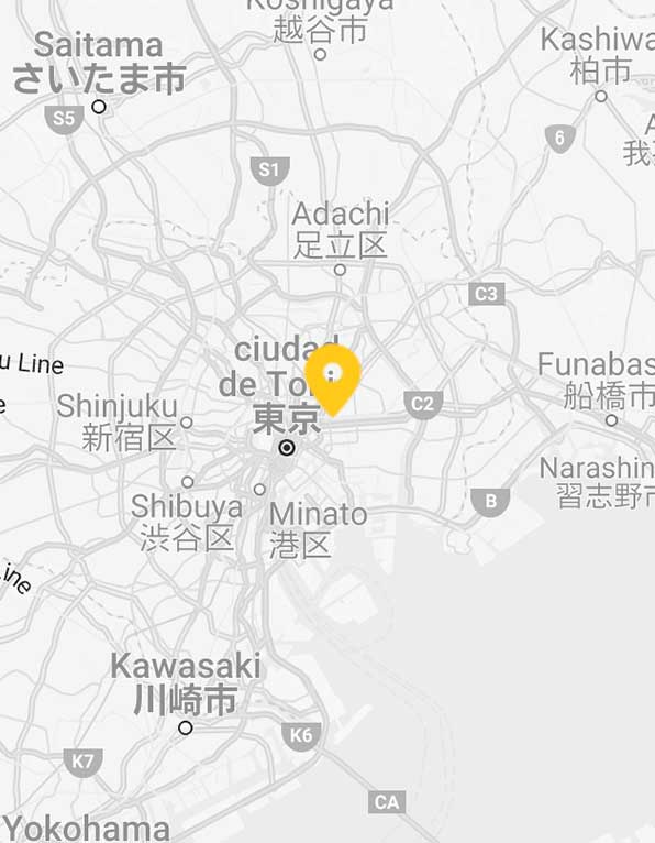
Ofiteat Japan
OFITEAT K.K. Itochu Ryogoku Building, 1-22-8, Midori 130-0021, Sumida – ku Tokyo, Japan
Email: ofiteat@ofiteat.com
Phone: (81-3) 5669 8580
Tell us what you need
Please leave us a message and we will respond as soon as possible

